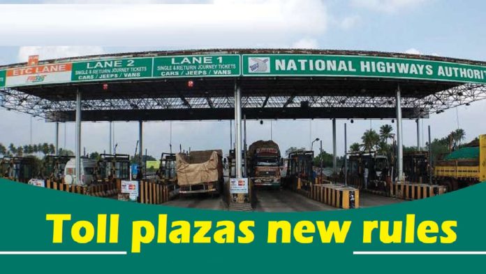
The Ministry of Road Transport and Highways on September 10 amended the National Highway Fee (Determination of Rates and Collection) Rules, 2008, to include electronic toll collection through satellite-based systems.
According to the recent notification, the change has been made to use Global Navigation Satellite System (GNSS), which includes the United States’ Global Positioning System (GPS) along with on-board units (OBUs), as a new method of toll collection. It is different from FASTag and Automatic Number Plate Recognition (ANPR) technology.
With these updates, vehicles equipped with GNSS OBUs will be able to pay toll
automatically based on the distance travelled. Rule 6 of the 2008 rules has been changed to create dedicated lanes at toll plazas for GNSS-equipped vehicles, eliminating the need for them to stop for manual toll payment. The revised rules are part of the government’s new efforts to modernise toll collection on national highways through advanced technology.
The ministry also clarified that vehicles not registered in India or those with non-functional GNSS equipment will continue to pay standard toll rates. Additionally, a zero-toll corridor of up to 20 km will be introduced for vehicles using GNSS systems, after which toll will be paid based on the distance travelled.
What is GPS-based toll collection?
Till now, toll is paid manually at toll booths, which often causes traffic jams even with the use of FASTag. The GPS-based toll collection system will calculate the toll based on the distance travelled. This will be possible through satellite and in-car tracking systems.
Also Read: IMD Yellow Alert! Heavy rain will occur in these states of the country in the next 24 hours
The system uses satellite-based tracking and GPS technology to charge tolls based on the distance covered by a vehicle, eliminating the need for physical toll plazas and reducing waiting time for drivers. Vehicles equipped with on-board units (OBUs) or tracking devices will be charged based on the distance covered on highways.
How is it different from FASTag?
Compared to FASTag, this satellite-based toll system relies on GNSS technology, which can track your exact location. It uses GPS and India’s GPS Aided Geo Augmented Navigation (GAGAN) system for more accurate distance-based tolling.
How will satellite-based toll collection work?
The vehicles will be equipped with OBUs, which act as tracking devices for toll collection. The OBU tracks the vehicle’s coordinates on highways, which are shared with satellites to calculate the distance travelled. Meanwhile, GPS and GNSS will ensure accurate distance measurements for toll collection. Highway cameras can then cross-check vehicle locations with the recorded images for accuracy.
Related Articles:-
Driver’s confusion: Will the GNSS on-board unit installed in vehicles work in other states as well ?
Bonus Share Rule : SEBI reduces bonus shares allotment time to T+2 effective 1st October


